Mara Wolf · 30 October 2026
Stakeholder Discussions Shape Strategies for Connecting Fragmented Habitats Across Elevated Dryland Plateaus
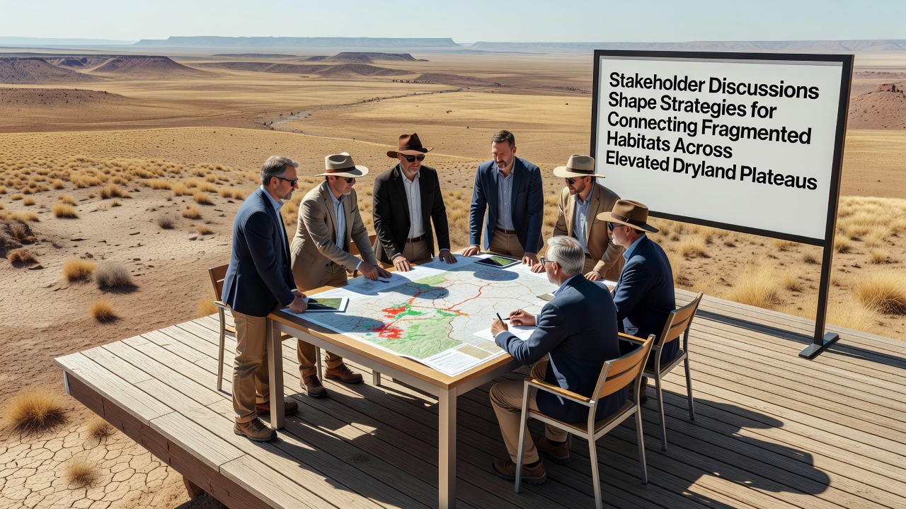
Groups representing federal agencies, tribal nations, academic institutions, and local conservation districts have met repeatedly over the past year to develop approaches for linking isolated patches of habitat on elevated dryland plateaus, and these sessions have produced initial frameworks for wildlife corridors that span multiple jurisdictions while addressing barriers such as roads, fences, and altered vegetation patterns.
Fragmentation in these regions stems from historical land uses that divided continuous grasslands and shrublands into smaller segments, and data collected through satellite imagery combined with on-the-ground surveys shows reduced movement for species including pronghorn, mule deer, and several bird populations that rely on seasonal migration routes across plateaus in the southwestern United States.
Background on Plateau Habitat Dynamics
Researchers tracking animal movements with GPS collars have documented how elevated plateaus once supported broader connectivity before development created gaps, yet remaining core areas still hold sufficient vegetation and water sources to sustain populations if linkages can be restored, and studies from the U.S. Geological Survey indicate that even narrow corridors measuring a few hundred meters wide can facilitate gene flow when maintained over time.
Plateau topography adds complexity because steep escarpments and variable soil depths influence where animals can travel safely, and participants in the discussions reviewed elevation models alongside climate projections that forecast drier conditions through 2035 which could further stress isolated patches if connectivity is not improved.
Participants and Meeting Structure
Representatives from the Bureau of Land Management, tribal wildlife departments, university ecology programs, and nonprofit land trusts gathered in a series of workshops that began in early 2025 and continued through multiple virtual and in-person formats, and each session focused on specific segments of plateau landscapes where fragmentation levels exceed thresholds identified in prior ecological assessments.
October 2026 has been set as the target date for a larger regional summit where refined strategies will be presented to additional stakeholders including ranching cooperatives and transportation authorities, and organizers expect this gathering to finalize priority corridor locations based on consensus from the earlier rounds of input.
Strategies Under Consideration
One approach centers on modifying existing fence lines to include wildlife-friendly designs that allow passage for larger mammals while containing livestock, and another involves targeted removal of invasive plant species along potential pathways to encourage native forage growth that supports sustained animal travel between fragments.
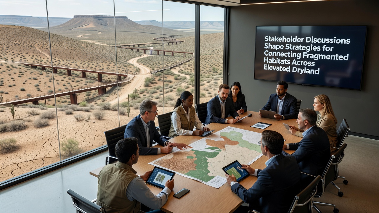
Discussions also addressed underpass and overpass structures along major roadways that cross plateau edges, with planners examining case studies from similar dryland settings where such crossings reduced vehicle collisions and increased documented crossings for target species, and cost estimates along with permitting timelines were shared among the groups to identify feasible pilot projects.
Supporting Research and Monitoring Plans
Baseline data compiled from multiple agencies shows that several plateau species experience population declines when habitat patches fall below certain size thresholds, and ongoing sensor networks installed at potential corridor sites will track usage once modifications begin, allowing adjustments based on real-time movement patterns rather than static assumptions.
Academic partners have contributed models that incorporate both current land cover and future climate scenarios, and these tools help prioritize areas where restoration investments are likely to yield the highest connectivity benefits across the network of fragments, while tribal knowledge holders added observations on historical migration routes that predate modern boundaries and informed selection of alignment options.
Implementation Considerations
Funding mechanisms discussed include a mix of federal grants, tribal allocations, and contributions from foundations focused on arid-land conservation, and participants noted that phased implementation starting with the most constrained fragments could demonstrate measurable improvements in movement rates within three to five years of completion.
Legal frameworks for cross-boundary agreements were reviewed to ensure that corridor designations do not conflict with existing land management plans, and model language for memoranda of understanding was circulated among the agencies involved to streamline future adoptions.
Conclusion
Continued coordination among these stakeholders is expected to produce actionable corridor designs by late 2026, and the resulting strategies will rely on combined datasets, field observations, and iterative feedback to connect fragmented habitats across the elevated dryland plateaus in a manner that accommodates both ecological needs and existing land uses.