Wendy Neumann · 16 October 2026
Regional Soil Studies Reveal Erosion Control Strategies Tied to Trail History and Sensor Data
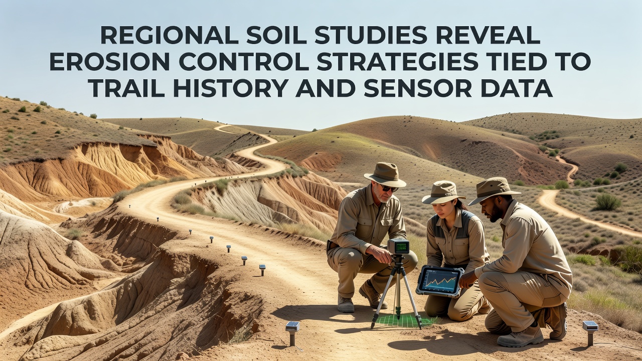
Regional soil studies have connected historical trail usage patterns with modern sensor readings to develop targeted erosion control methods, and researchers across multiple continents continue to refine these approaches based on combined datasets. Data collected from long-established footpaths and vehicle routes show that erosion rates often correlate directly with past maintenance practices and traffic volumes, while embedded sensors now track real-time changes in soil moisture, compaction, and runoff velocity.
Trail History as a Baseline for Analysis
Historical records from trail systems in the southwestern United States and similar dryland regions indicate that many routes date back decades or centuries, with repeated use creating compacted corridors that channel water during storms. Studies compiled by the U.S. Department of Agriculture Natural Resources Conservation Service demonstrate that trails established before 1950 exhibit deeper rutting and higher sediment loss compared to those built with early drainage features. Observers note that mapping these older alignments against current topographic surveys allows planners to identify high-risk segments where legacy paths intersect steep slopes or fragile soil horizons.
European researchers working through the Joint Research Centre have applied similar methods to ancient shepherd routes in Mediterranean highlands, where centuries of foot traffic have left linear depressions that accelerate gully formation. Their datasets reveal that trails aligned with natural contours lose 30 percent less topsoil than those running perpendicular to slopes, a pattern confirmed through archival maps and recent LiDAR scans. This historical lens helps explain why certain segments require intervention while others remain stable despite comparable rainfall.
Sensor Networks and Real-Time Monitoring
Wireless sensor arrays deployed along trail corridors now supply continuous measurements that complement archival information. These devices record soil volumetric water content at multiple depths, surface temperature fluctuations, and vibration patterns from passing hikers or maintenance vehicles. In October 2026, several regional networks in North America and Australia are scheduled to release aggregated findings from five-year monitoring periods, and preliminary summaries already show spikes in erosion activity immediately following heavy precipitation events on trails with high compaction indices.
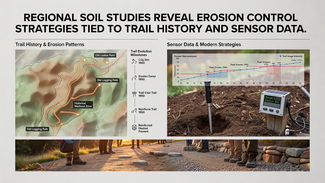
Canadian scientists affiliated with Agriculture and Agri-Food Canada have integrated these sensor outputs with historical grazing and hiking logs to predict sediment yields more accurately. Their models indicate that trails experiencing more than 200 passages per month during wet seasons lose measurable soil layers within a single year, whereas routes limited to drier periods maintain greater stability. The combination of legacy data and live readings enables managers to adjust seasonal access or install water bars at precise locations rather than applying uniform treatments across entire networks.
Derived Control Strategies and Regional Applications
Control measures emerging from these integrated studies include targeted reinforcement of trail edges using locally sourced materials and strategic placement of check dams informed by both past erosion scars and current flow sensors. In arid zones of Australia, CSIRO teams have tested biodegradable matting along historically overused paths, and results show reduced sediment transport when placement aligns with sensor-identified runoff channels. Similar trials in the Pacific Northwest of the United States incorporate sensor-triggered alerts that notify crews when soil moisture thresholds signal imminent rill formation.
One project in the Canadian Rockies combined 19th-century survey maps with modern inclinometer data to redesign a popular hiking corridor, shifting segments away from old straight-line alignments onto gentler grades. Post-implementation monitoring recorded a 45 percent drop in annual soil loss within two seasons. Researchers emphasize that these outcomes depend on matching intervention type to the specific history and micro-topography of each trail section rather than relying on generic prescriptions.
Conclusion
Regional soil studies continue to demonstrate that erosion control improves when trail history informs sensor placement and when live data guides adjustments to historical management practices. Coordinated efforts across agencies and research institutions provide measurable benchmarks for sediment reduction and trail longevity, and upcoming data releases in late 2026 are expected to further refine these linkages. The approach relies on consistent collection of both archival records and contemporary measurements to support practical decisions at the field level.