Riley Lehmann · 18 September 2026
Local Efforts Map Forgotten Springs to Bolster Vegetation in Elevated Dryland Zones
Communities across elevated dryland regions have launched systematic mapping projects to identify long-forgotten springs and restore water sources that support vegetation growth in arid highland environments, and these initiatives draw on historical records combined with modern surveying tools to locate sites that once sustained local ecosystems.
Understanding the Role of Forgotten Springs
Elevated dryland zones often contain intermittent water features that have gone undocumented for decades, while researchers note that these springs historically provided critical moisture during seasonal dry periods and data from geological surveys indicates their presence can stabilize soil conditions and encourage plant establishment in otherwise sparse landscapes.
Mapping teams compile old ranch logs, indigenous oral histories, and satellite imagery to pinpoint locations, and the process reveals patterns where springs cluster along fault lines or at higher elevations where groundwater tables intersect surface features.
Methods Employed in Current Mapping Projects
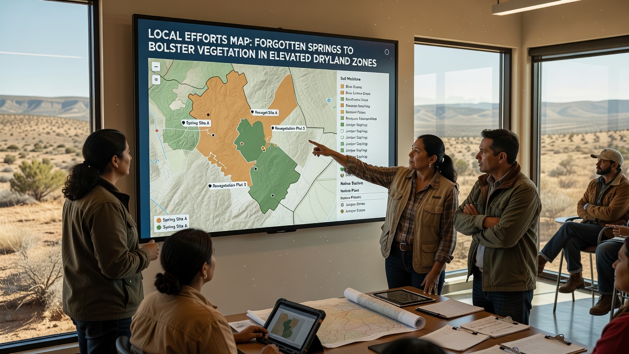
Local groups deploy handheld GPS units alongside drone flights to verify spring coordinates, and field crews collect soil moisture readings along with vegetation density measurements to assess each site's potential for restoration, while September 2026 marked the completion of the first phase of a multi-year inventory across several western plateaus.
Geographic information systems integrate these findings into layered maps that highlight connectivity between springs and surrounding plant communities, and such tools allow planners to prioritize areas where water access could yield the broadest ecological gains without requiring large-scale infrastructure changes.
Observed Effects on Vegetation Patterns
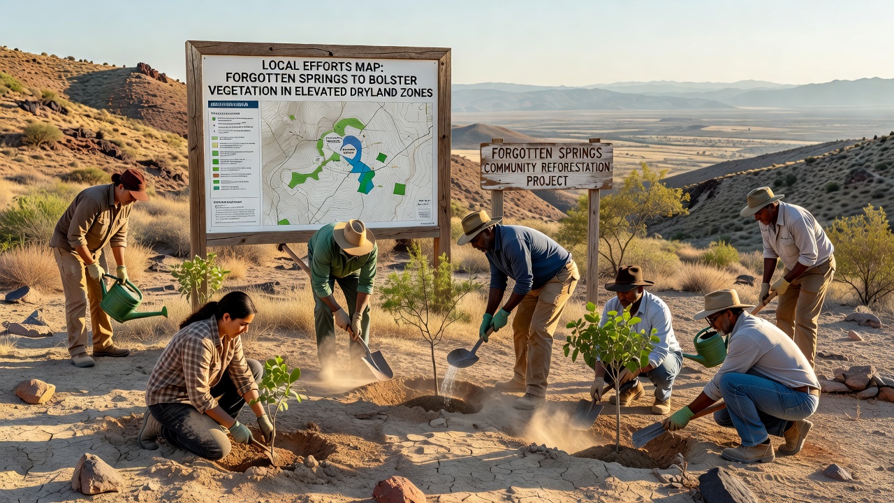
Restoration activities around newly mapped springs have shown measurable increases in native grass cover and shrub density within two growing seasons, according to monitoring data released by regional environmental agencies, and similar projects in comparable highland settings demonstrate that even modest flows can support pockets of biodiversity that spread outward over time.
Plant species that tolerate variable water availability tend to colonize these zones first, and observers record shifts in species composition that favor deeper-rooted varieties capable of anchoring topsoil against wind erosion.
Challenges in Identifying and Accessing Sites
Many springs sit on private holdings or rugged terrain that limits vehicle access, yet crews overcome these obstacles through partnerships with landowners who grant entry for documentation purposes, and regulatory frameworks in multiple jurisdictions encourage such collaboration by offering streamlined permitting for non-invasive surveys.
Seasonal variability also complicates verification because some features only surface after heavy snowmelt or rare storm events, and teams therefore schedule repeated visits across different months to build accurate records of flow duration and volume.
Integration with Broader Conservation Strategies
Mapped spring data feeds into larger watershed management plans that coordinate vegetation restoration across elevation gradients, and agencies such as the U.S. Geological Survey provide baseline hydrological models that help predict how restored flows might interact with existing aquifer systems. Research from the Food and Agriculture Organization highlights comparable efforts in dry highland regions of other continents where spring mapping has supported similar vegetation recovery goals.
Training programs equip local volunteers with protocols for ongoing monitoring, and these programs emphasize consistent data collection standards that allow comparisons between sites over multiple years.
Conclusion
Local mapping initiatives continue to expand the documented inventory of forgotten springs throughout elevated dryland zones, and the resulting information supports targeted vegetation restoration that builds on existing natural features rather than introducing new water infrastructure. Ongoing data collection in the months following September 2026 will clarify long-term outcomes and refine methods for future projects in similar environments.