Wendy Neumann · 2 October 2026
Area Educators Introduce Field Exercises on Landform Protection Based on Updated Subsurface Water Mapping
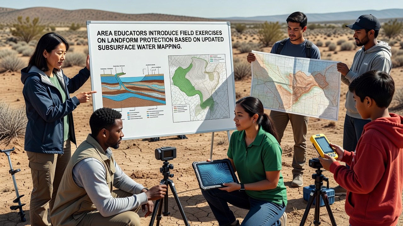
Local schools across the region have launched new field exercise programs that combine classroom lessons with hands-on activities centered on landform protection, and these initiatives draw directly from recent updates to subsurface water mapping data released earlier this year. Teachers in several districts began integrating the revised maps into curricula during the summer planning sessions, which allowed them to align exercises with specific geological features such as mesas, arroyos, and dryland slopes where water flow patterns influence erosion rates and soil stability.
Program Development and Mapping Integration
Coordinators worked with hydrologists to translate complex subsurface water data into accessible formats suitable for middle and high school students, and this collaboration produced simplified layers that highlight aquifer boundaries along with recharge zones critical to maintaining landform integrity. Students now examine how underground water movement affects surface features during outdoor sessions scheduled for October 2026, when seasonal conditions provide clearer visibility of drainage patterns and vegetation responses. Exercises include measuring slope angles, documenting vegetation cover, and correlating those observations with mapped water table depths to identify areas prone to accelerated erosion or subsidence.
Student Activities and Data Application
One group of students traced water flow pathways from upland recharge areas down through fractured rock layers using portable GPS units synced to the updated maps, and this process helped them understand why certain landforms require targeted protection measures such as contour planting or limited access trails. Another exercise involved collecting soil samples at varying depths to compare moisture retention against predictions derived from the subsurface models, which revealed discrepancies in older datasets that had underestimated lateral water movement in clay-rich strata. Educators report that participants complete these tasks in small teams while recording findings in field journals that later feed into classroom discussions on conservation strategies.
Regional Context and Resource Allocation
Schools located near protected arid zones have received priority access to mapping resources because those areas show heightened sensitivity to changes in subsurface hydrology, according to records maintained by regional geological surveys. Funding for equipment such as soil moisture probes and mapping software licenses came through partnerships with state education agencies that allocated grants specifically for science programs emphasizing environmental monitoring. Data from these exercises contributes to broader databases that track landform changes over time, and students upload their measurements to shared platforms where researchers can cross-reference findings with satellite imagery and well log information.
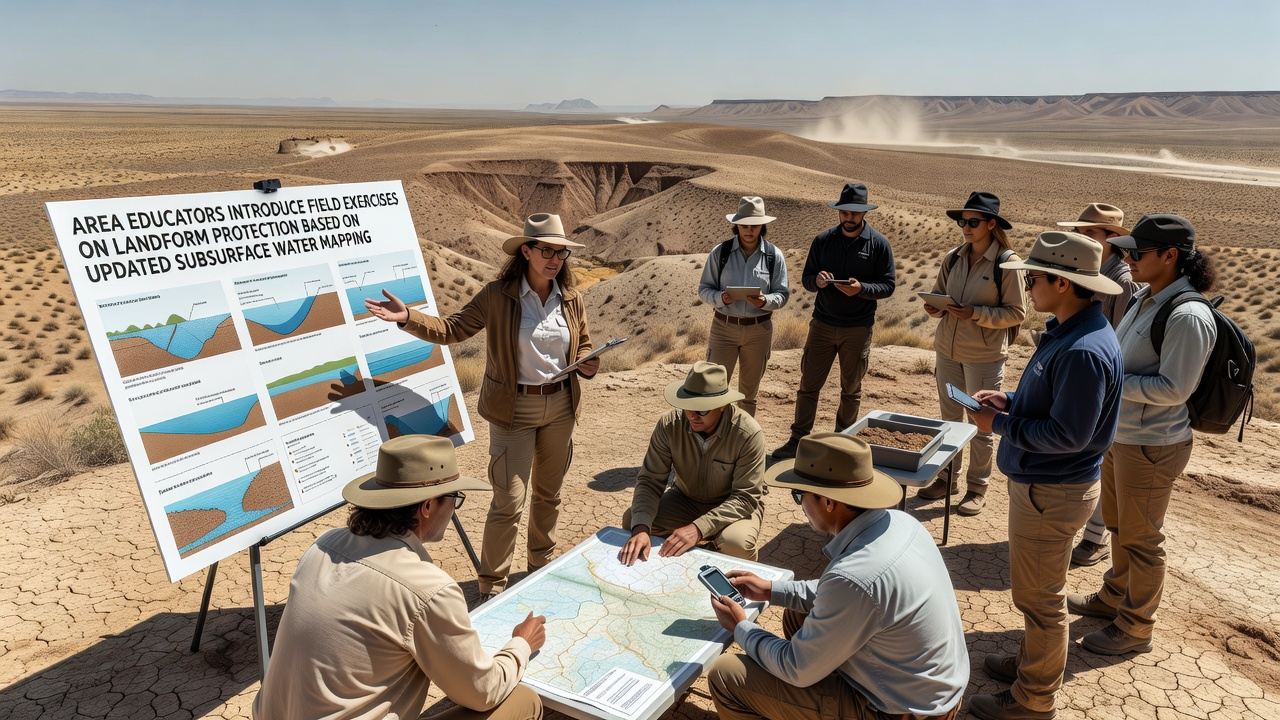
Training sessions for instructors covered interpretation of water mapping layers that indicate perched aquifers and fault-influenced flow paths, and these workshops occurred throughout the spring to prepare staff before the October rollout. Participants learned to identify signs of landform stress such as headward gully extension or slumping along drainage channels that correlate with declining water levels in underlying strata. The exercises emphasize non-invasive techniques that avoid disturbing sensitive surfaces while still gathering reliable data on factors like infiltration rates and sediment transport.
Outcomes and Broader Applications
Initial results from pilot programs show students gaining proficiency in connecting subsurface water dynamics to surface landform preservation, and several classes have produced reports that local land managers reviewed for potential incorporation into management plans. Figures from participating districts indicate over 450 students engaged in at least one field session by the end of the first quarter, with data collection covering approximately 12 square kilometers of mapped terrain. Research indicates that such educational approaches improve retention of geological concepts compared with traditional lecture formats alone, according to studies conducted by university teams specializing in earth science pedagogy.
Additional resources include links to public datasets maintained by the United States Geological Survey, which supplies the foundational subsurface water maps used in the exercises. A separate collaboration with Canadian research institutions provides comparative case studies from similar dryland environments in British Columbia, where analogous mapping projects support student-led monitoring efforts. These connections allow educators to expand exercise modules without duplicating existing data collection infrastructure.
Future Expansion Plans
District officials plan to scale the program to additional grade levels next academic year while incorporating real-time sensor feeds from monitoring wells that track seasonal fluctuations in subsurface water. This expansion would enable students to observe how precipitation events influence water table responses and subsequent effects on landform stability over multi-week observation periods. Coordinators also intend to develop cross-curricular modules that link the field data to mathematics lessons on spatial analysis and statistics, thereby reinforcing quantitative skills alongside environmental awareness.
Conclusion
The introduction of these field exercises marks a shift toward more integrated approaches that treat subsurface water mapping as a practical tool for landform protection education rather than an abstract topic confined to textbooks. By grounding activities in updated regional data, educators equip students with methods for observing and interpreting hydrological influences on geological features in their local environment. Continued refinement of these programs depends on sustained access to mapping updates and feedback loops between classroom findings and professional research networks.